Within the goals of the United Nations Sustainable Development Goal 15 -Sustainably manage forests, fight desertification, halt and reverse land degradation, halt the loss of biodiversity-, the second clearly defines the need to promote now “the sustainable management of all types of forests, end deforestation, recover degraded forests and increase afforestation and reforestation globally.” Reforestation - the process of replanting forest with new specimens where woody vegetation had previously existed - is called to play a key role in the fight against desertification - by acting against erosion and loss of nutrients - and in the race to achieve carbon neutrality.
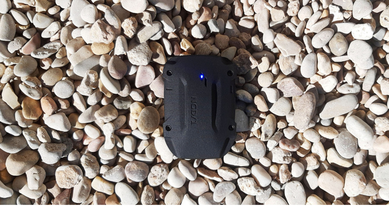
In this sense, Spain is the second country in the European Union with the largest forest area, but there is a lot of room to preserve and regenerate the country's ecosystems and biodiversity. If we add to this the need that our rural world has for initiatives aimed at encouraging its economic activity, the importance that initiatives linked to reforestation can acquire multiplies. However, it is an activity that requires the greatest possible precision to control its correct growth and ensure its safety to prevent a fire from stopping such a valuable activity. Therefore, if this monitoring must be carried out continuously over very large areas of land, the digitalization of these tasks is essential. A combined use of technologies such as the analysis of high-resolution Earth observation images and Internet of Things (IoT) solutions by satellite, with sensors that collect levels of humidity, CO2 and wind, among others, will be key to get a complete overview.
But, as we have commented on other occasions, digitalization is not possible if we lack connectivity. In scenarios such as those proposed in these reforestation processes, which are carried out on large areas of land located in remote areas, the use of satellite, with its universal coverage and rapid deployment, seems essential for the development of these IoT solutions. .
For this reason, HISPASAT has recently announced its alliance with the Repsol Foundation to promote the development of technological solutions for Motor Verde, the largest reforestation program to compensate for emissions in Spain, which plans to reforest 70,000 hectares of land in the next 5 years. 7 years to capture 16 million tons of CO2 and generate 15,000 employment opportunities in the rural world. The use of our satellite technology, which guarantees this universal, robust, efficient and continuous connectivity, will allow the development of solutions aimed at optimizing the control of forest growth and certifying with great precision the amount of carbon absorbed by trees along of the years. In this way, we will be able to provide key rigor in the certification of emissions compensation.
Specifically, HISPASAT works to offer this project, among other services, comprehensive protection of the forest space (by automating the monitoring tasks of these areas and the continuous provision of relevant information for the population and interested entities, the detection of fires without false alarms, as well as their monitoring and forecast of evolution), a biomass monitoring platform through data analytics (which allows reporting on its increase and the volume of carbon capture, carrying out an inventory of species and controlling the state of the vegetation, with special interest in its vigor and relative humidity), perimeter protection (with access control to forest trails and firebreaks and adjacent areas), a WiFi connectivity service for public spaces and a geolocation solution and precise traceability of planted vegetation.
Furthermore, this collaboration contemplates the possibility of extending the project to new territories in addition to Spain, a detail that fully fits with a company like HISPASAT, with its extensive coverage over the entire American continent and its commitment to the development of rural territories in the region.

This week the European Space Conference was held in Brussels, one of the main meetings of the sector on the continent, where the new constellation on whose definition HISPASAT is working was debated.

We celebrate the International Day of Girls and Women in Science, remembering the importance of creating role models for younger women and promoting equal opportunities.

The use of satellite allows hikers or workers to use wearable devices in remote areas to monitor their activity, detect falls or send alerts in the event of an accident so that emergency teams can act as quickly as possible.

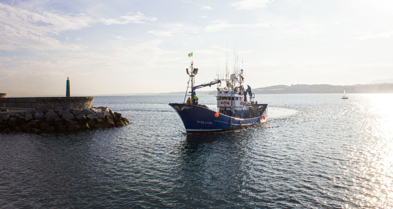
The Smart Boat pilot project by Redeia and Nexmachina has deployed IoT sensors on a Hondarribia boat to monitor the safety of its crew and improve its fishing activity.

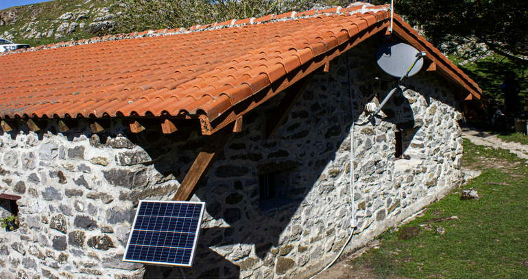
In Redeia, through HISPASAT and Elewit, it leads a pilot project in which it works with the IoT solutions integrator Nexmachina to implement in the area a series of connectivity applications aimed at improving the conditions of the shepherds in their cabins, guaranteeing their security and optimize the resources of the municipalities in the area.